
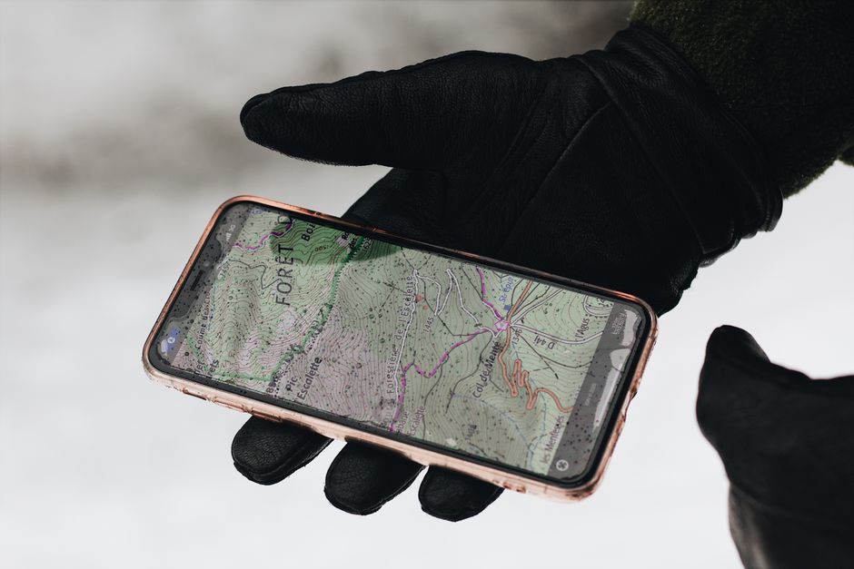
Exploring backcountry hiking trails, national park wilderness routes, and local nature paths requires reliable outdoor navigation technology. Relying solely on physical paper maps or basic smartphone map apps without offline capabilities can lead to dangerous disorientation when cellular service drops in remote wilderness areas. In 2026, specialized mobile hiking applications leverage high-precision GPS route mapping, offline topographic contour layers, 3D satellite terrain renders, real-time weather overlays, and community trail condition reports. Evaluating top hiking apps—AllTrails, Gaia GPS, Komoot, and onX Backcountry—ensures outdoor enthusiasts select the right tool for local day hikes or technical wilderness backpacking.
1. AllTrails — Best Overall for Day Hiking & Trail Discovery
Overview & Strengths: AllTrails is the most popular outdoor trail app globally, hosting a massive database of over 400,000 curated hiking trails complete with photos, elevation profiles, and crowdsourced trail condition reports.
Key Features: Excellent trail search filters (filtering by distance, elevation gain, dog-friendly, or waterfall views), community trail reviews, and offline map downloads (AllTrails+).
Ideal Audience: Casual day hikers, families, and outdoor enthusiasts seeking user-friendly trail discovery.
2. Gaia GPS — Best Specialized Topographic App for Wilderness Backpacking
Overview & Strengths: Gaia GPS is the gold-standard navigation app for backcountry backpackers, search-and-rescue teams, and wilderness navigators requiring advanced topographic mapping layers.
Key Features: Offers an extensive catalog of offline map layers—USGS Topo, USFS USFS Recreation, National Geographic Illustrated Maps, public/private land ownership boundaries, high-resolution satellite imagery, and slope angle shading for avalanche safety.
Ideal Audience: Wilderness backpackers, off-grid navigators, and technical outdoor adventurers.
3. Komoot — Best for Route Planning, Cycling & Multi-Sport Outdoor Adventures
Overview & Strengths: Komoot excels at custom route planning and surface-type breakdown, making it a favorite for hikers, bikepackers, and gravel cyclists.
Key Features: Generates custom routes based on your fitness level and preferred activity, breaking down exact trail surface compositions (singletrack, paved, gravel, cobble). Features turn-by-turn voice navigation and seamless Garmin watch integration.
Ideal Audience: Hikers, multi-sport endurance athletes, and gravel cyclists planning custom point-to-point routes.
4. onX Backcountry — Best 3D Terrain Renders & Public Land Boundaries
Overview & Strengths: Built on onX’s industry-leading mapping engine, onX Backcountry provides ultra-detailed 3D satellite terrain views and precise public vs private land ownership boundaries.
Key Features: Interactive 3D terrain maps allow visualizing ridge lines, elevation gains, and steepness before stepping foot on the trail. Includes guidebook-quality trail descriptions and offline GPS tracking.
Ideal Audience: Backcountry skiers, mountaineers, and wilderness hikers exploring off-trail terrain.
Hiking & Outdoor Navigation App Comparison Matrix
| App Name | Primary Navigation Focus | Offline Map Download Support? | Advanced Topo Layers (USGS/USFS)| Subscription Cost Structure |
|---|---|---|---|
| AllTrails | Curated Trail Discovery & Day Hikes| Yes (AllTrails+ Subscription) | Basic Topo & Satellite Layers | Free Base / $35.99/year (AllTrails+) |
| Gaia GPS | Wilderness Backpacking & Navigation | Yes (Gaia GPS Premium) | Exceptional (USGS, USFS, NatGeo)| $59.99/year (Gaia Premium) |
| Komoot | Custom Route Planning & Surface Data| Yes (Komoot Maps / Premium) | Surface & Elevation Breakdown | Single Region Free / $59.99/yr |
| onX Backcountry| 3D Satellite Terrain & Land Boundaries| Yes (onX Premium) | 3D Satellite & Land Ownership | $29.99/year (Premium) |
Essential Safety Rules for Backcountry GPS Navigation
When using mobile GPS hiking apps in off-grid wilderness environments, follow three critical safety rules:
1. Always Download Offline Maps Before Departing: Cellular service drops completely in wilderness valleys and national parks. Download offline topographic maps for your route while connected to Wi-Fi at home.
2. Carry a External Portable Battery Bank: Continuous GPS tracking drains smartphone battery life rapidly. Carry a 10,000mAh portable power bank to recharge your phone in the backcountry.
3. Bring a Physical Paper Map Backup: Electronic smartphones can experience battery failure, screen damage, or thermal shutdown in extreme cold or heat. Always pack a waterproof paper topographic map and compass as an analog backup.
Concluding Recommendation
For day hikers seeking easy trail discovery and community reviews, AllTrails+ is the best choice. For technical wilderness backpackers requiring advanced USGS topographic map layers, Gaia GPS Premium is the undisputed industry standard.
Evaluating Search and Rescue Safety Signals and Satellite Messaging Integration
When hiking or backpacking in remote wilderness areas, outdoor navigation applications provide critical emergency safety features.
1. Emergency SOS and Satellite Tracker Syncing. Gaia GPS and onX Backcountry interface directly with satellite communicators (such as Garmin inReach Mini 2 or ACR Bivy Stick). If a hiker encounters an emergency, medical injury, or severe weather in a cell-service dead zone, the app syncs GPS coordinates to the satellite communicator to dispatch search and rescue personnel.
2. Real-Time Waypoint Dropping and Backtracking. Outdoor navigation apps allow dropping custom GPS waypoints (marking water sources, campsite locations, or trail junctions) and utilizing “Backtrack” features to retrace your exact GPS steps if trail markers become obscured by snow or fog.
3. Fire and Avalanche Hazard Layers. Gaia GPS Premium includes live active wildfire mapping, smoke coverage overlays, and slope angle shading layers, providing critical safety information for backcountry skiers and wilderness backpackers.
Managing Route Elevation Profiles and Water Source Planning
Preparing for backcountry wilderness hikes requires careful route analysis beyond basic trail mileage.
Analyzing Elevation Gain and Slope Profiles. AllTrails and Gaia GPS display detailed 3D elevation profile graphs for every trail. Reviewing elevation profiles allows hikers to evaluate steep climbing sections, calculate estimated hiking times using Naismith’s Rule (adding 1 hour for every 2,000 feet of elevation gain), and budget physical energy accordingly.
Mapping Backcountry Water Sources. Wilderness navigation apps allow users and community members to drop waypoints marking seasonal natural water sources (creeks, springs, alpine lakes). Reviewing recent community waypoint notes before departing confirms whether seasonal water sources are flowing, ensuring you carry adequate water filtration capacity.
Summary Guidelines for Wilderness Outdoor Navigation
To ensure safe navigation on remote hiking and backpacking trails:
1. Download Offline Topographic Maps: Always save offline maps before departing for remote trailheads with limited cell service.
2. Monitor Elevation and Terrain Layers: Use 3D satellite imagery and slope shading in Gaia GPS or onX Backcountry to evaluate trail steepness and safety.
3. Pack Analog Navigation Backups: Always carry a waterproof physical paper topographic map, compass, and external battery power bank as safety backups.
Utilizing downloadable offline maps and satellite navigation tools ensures safe backcountry exploration and trail enjoyment.
Utilizing Weather Overlays and Trail Condition Reports
In addition to route mapping, reviewing real-time weather overlays and community trail condition reports inside AllTrails or Gaia GPS ensures you prepare for sudden mountain rainstorms, muddy trail sections, or seasonal snowpack hazards.
Combining downloadable offline topographic maps with physical paper map backups provides complete navigation safety on wilderness trail adventures.
Our pick: AllTrails+ (Day Hiking) or Gaia GPS Premium (Wilderness Backpacking)